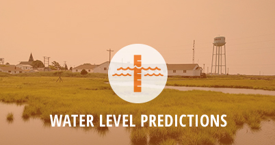
The Tidewatch network provides an effective way to measure, visualize, and predict the magnitude and impacts of coastal flooding at locations within the Chesapeake Bay and along Virginia’s seaside Eastern Shore. Use Tidewatch interactive prediction charts to better prepare for storm tides and minimize their potential impacts. The charts are particularly useful for comparing storm tides in areas with different tidal ranges.
The Tidewatch chart for each station displays the difference between the predicted astronomical tide and observed water level at a given location. This difference—the residual—represents non-tidal, weather-induced change in water level including storm surge. The system, initially developed by Virginia Institute of Marine Science emeritus professor John Boon and made public in August of 2012, is currently being maintained and updated by Dr. David Forrest, with an anticipated expansion in spring-2018 to include new water level sensors installed by the USGS, and a new network of ultrasonic water level sensors installed by the Cities of Hampton Roads as part of the StormSense Project led by Dr. Derek Loftis at VIMS.
Recently, VIMS installed a new water level sensor near Tangier Island’s Port Isobel. The new sensor provides much-needed water level measurements for this historic community and expands the Tidewatch network.
See the 36 hour water level forecast. Currently functional for Hampton Roads.
Tidewatch Stations
Access observations and forecasts for individual stations using the links or map below, or view a single graph that compares water-level forecasts among all the stations.
Citations for Source Content
Loftis, J.D., Wang, H., Forrest, D., Rhee, S., Nguyen, C. (2017). Emerging Flood Model Validation Frameworks for Street-Level Inundation Modeling with StormSense. SCOPE '17 Proceedings of the 2nd International Workshop on Science of Smart City Operations and Platforms Engineering, 2(1), 13-18. PDF
Loftis, J.D., Katragadda, S., Organski, T., Spencer, K., Nguyen, C., Rhee, S. (2018). StormSense: An Adaptive new IoT Sensor Network and data platform. (Submitted to Marine Technology Society Journal. PDF
Loftis, J.D., StormSense.com. (2017) StormSense Project: Forecasting Flooding from Storm Surge, Rain, and Tides