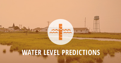
Water level predictions are critical for building resiliency to flooding both in terms of short-term storm-induced flooding and longer-term sea level rise. The Tidewatch network utilizes a growing network of tide gauges that provides easy visualization of current water levels and predictions up to 36 hours at water levels gauge sites. CCRFR is in the process of further expanding this network through the incorporation of ultrasonic water level sensors throughout the cities of Hampton Roads as part of the StormSense project.
Longer-term water level predictions are provided on the AdaptVA portal both as regional sea level rise predictions and an interactive map that displays local inundation under varying sea level rise scenarios.