Hampton Roads Sea Level Rise/Flooding Adaptation Forum
July 27, 2018
MIT Solve Challenge Finalist has ODU Connection
October 4, 2018A team of ODU researchers have been using drones to conduct coastal research. The drones have allowed for more precise data to create 3D maps that are used to track erosion over time. The information retrieved will help with decision making when it comes to finding ways to combat sea level rise. Read more at PilotOnline.com
"Looking for potential for drones to be able to monitor coastal change; how the beaches and shorelines and dunes and then vegetation would respond to coastal storms, sea level rise and potentially any human modifications."
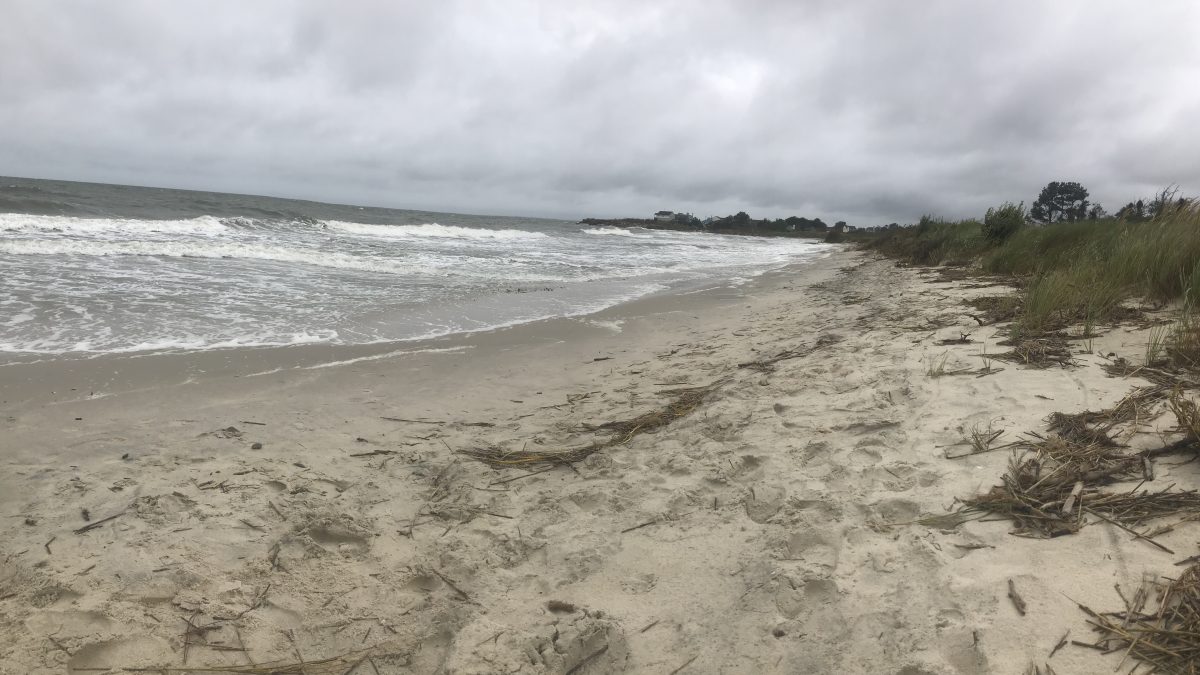
After Hurricane Florence, Tom Allen (Old Dominion University, Political Science and Geography Professor and CCRFR affiliate) and George McLeod (Old Dominion University Director of Geospatial and Visualization Computing) made their way out to False Cape State Park to conduct a survey to better understand the rate of change on the island .
Video provided by the Virginian-Pilot
"Help inform a much broader regional understanding of how Hampton Roads is going to see sea level rise impacted."


