Winter 2019 Hampton Roads Sea Level Rise/Flooding Adaptation Forum
March 5, 2019
Hurricane Florence: What If
June 2, 2019
at
ODU Researchers Continue to Use Drones for Coastal Research
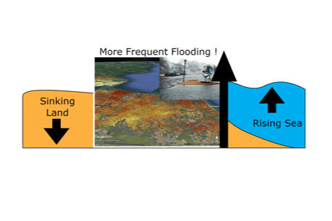
"This will then provide maps and predictions of an alternative future where we (install) different types of infrastructure — nature-based or otherwise....And it’s going to force our whole region to make some critical decisions. And do that block by block, neighborhood by neighborhood."
Tom Allen

ODU researchers (also CCRFR Affiliates) Tom Allen and George McLeod continue their study using drones to conduct coastal research. Recently they paid a visit to Salters Creek in Newport News, there they were able to capture high resolution images with the use of the drones. The drones have allowed for more precise data to create 3D maps that are used to track erosion over time. The information retrieved will help with decision making when it comes to finding ways to combat sea level rise. Visit Daily Press to read more on how they use drones for coastal research.
George McLeod
